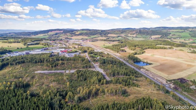
LOCATION AND OWNER
- Address Tylldalen, Tynset, Norway
- Coordinates 62°04’22.9″N 10°50’47.7″E – EU89, UTM-zone 33
- Map https://goo.gl/maps/aABKTLfjUWF2
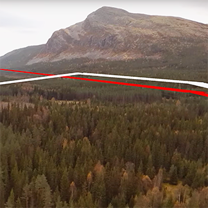
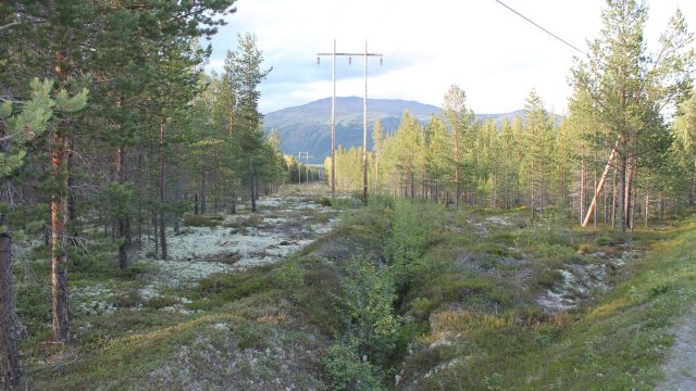
- Surroundings Mountain, forest
- Owned by Tynset municipality, through agreements
SITE AND CONSTRUCTION
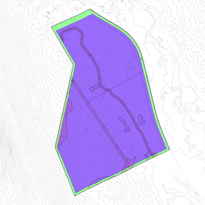
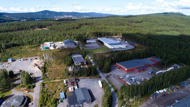
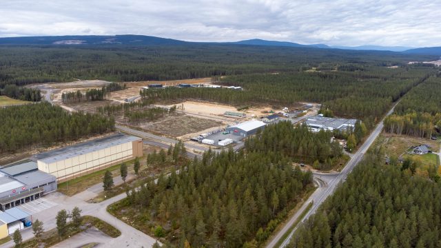
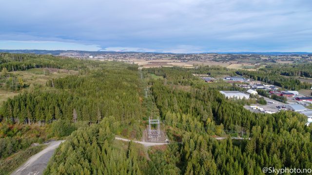
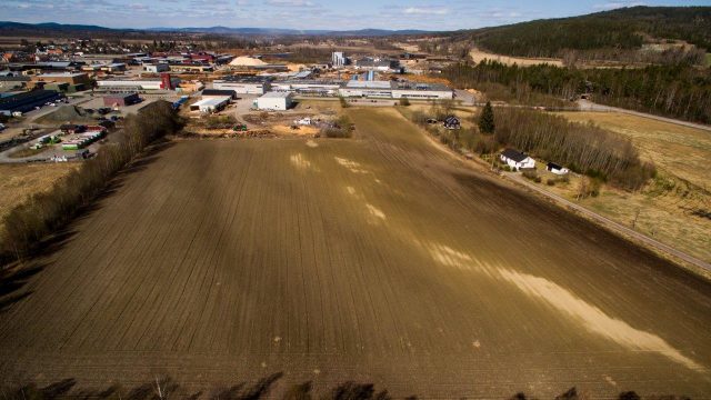
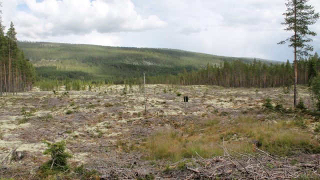
- Site area 1,000,000 m2 (100 ha), greenfield
- Topography Flat, max elevation 10 meters, 396 meters above sea level
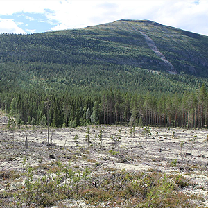
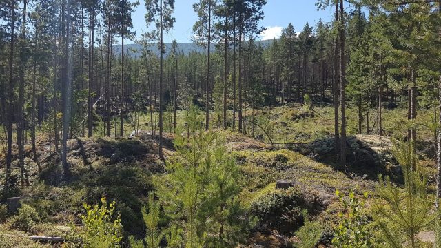
- Type of site Granite gravel and rocks
- Shape Rectangular
- Utilization 60% – equal to 600,000 m2 or 60 ha, based on roofed area
- Construction Extremely easy deforestation, due to thin soil. The granite gravel ground is flat and well suited for construction.
ELECTRICITY AND GRID
- Long term potential (<6 months) 1 MW
- Long term potential (18 – 24 months) 25 MW
- Long term potential (36 – 60 months) 100 MW*
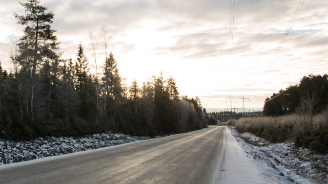
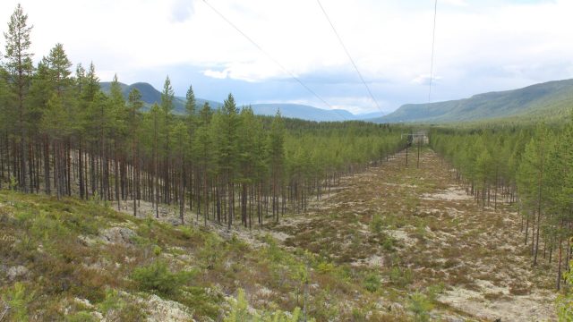
- Grid 132 kV passing by site
- Local hydro production capacity From Rendalen/ south 100 MW, from Savalen/north 62 MW (the latter only partly controlled by Nordavind/ Eidsiva)
*New substation 300-132 kV at Rendalen power plant will improve capacity (2026). Planned transformer 250 MVA.
For more information regarding electricity and grid capacity, contact us.
CONNECTIVITY
- Fiber within 1 month 1 Gb/s (Eidsiva)
- Fiber within 6 months Dark fiber 1 feed (Eidsiva)
- Fiber within 1 year Dark fiber 2 feeds (Eidsiva). Telenor can probably also deliver dark fiber.
- Operators Eidsiva broadband and Telenor
- Connect EU Tylldalen is very close to the Swedish border with connections directly to major international operators in Sweden as well as international connection through Oslo
PLANNING AND PERMITTING
- Regulations Regulated for data center use and industry. Ordinary building permits are required
- Zoning Industrial zoning, ready for construction
- Water Yes, on site
- Sanitary Yes, on site
SITE ACCESS
- Highway RV 30 passing by site, 23 km from RV 3 (main road Oslo – Trondheim)
- Access Existing road access to the site
- Int. airport OSL Gardermoen, 3 h 30 min, 260 km
- National Airport Røros, 68 minutes, 76 km